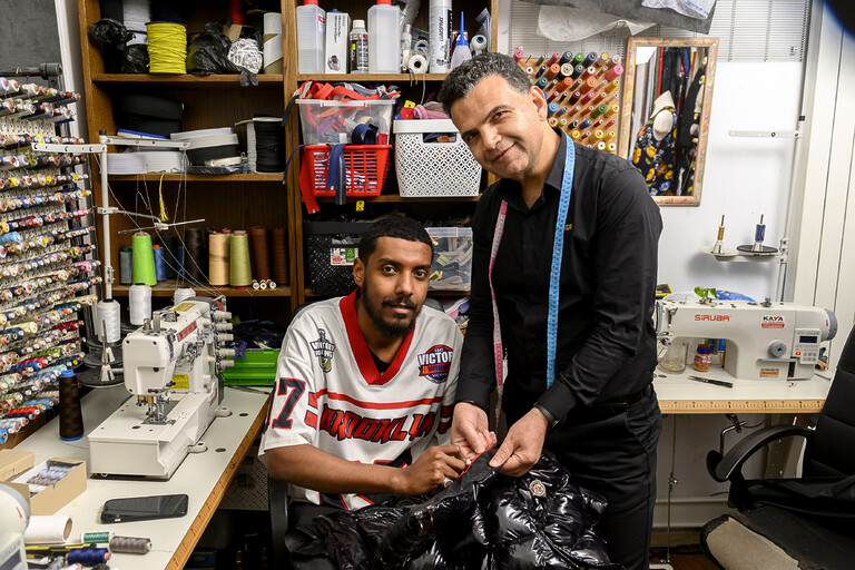
‘Als je hier wilt werken, ben je welkom’
Basir geeft werkzoekenden als Anas opleiding en zelfvertrouwen in zijn kledingreparatie-atelier en stomerij. Ze vertellen over hun ervaringen.
Wij gebruiken DeepL om deze website te vertalen.
Wij zijn niet verantwoordelijk voor de juistheid van de vertaling.
Kijk wat u kunt doen en welke hulp u kunt krijgen van de gemeente.
Doe mee
Basir geeft werkzoekenden als Anas opleiding en zelfvertrouwen in zijn kledingreparatie-atelier en stomerij. Ze vertellen over hun ervaringen.
Bekijk de agenda van de burgemeester en wethouders voor de komende 2 weken.
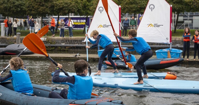
Van 21 juni tot 21 september is de Haagse Sportzomer. 3 maanden lang zijn er sportactiviteiten voor alle wijken en voor alle leeftijden.